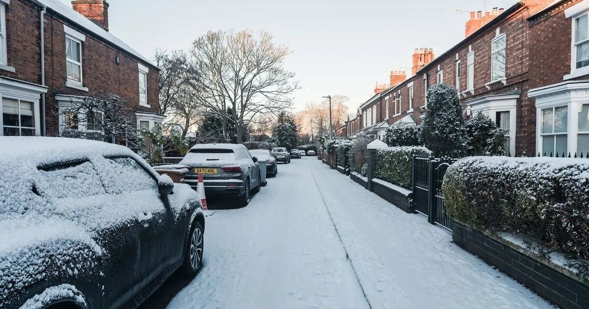
Snow map reveals 430-mile stretch blanketing Britain down to Kent

The United Kingdom is gearing up for significant snowfall over the coming weeks as winter refuses to let go despite spring being on the horizon. Snow is expected to fall across several regions, from Inverness in Scotland down to Norwich in England, with some patches reaching Kent. Temperatures are forecast to stay below freezing in many places, prolonging the chilly start to 2026 for lots of people.
A cold start to 2026 and the February forecast
As the nation ushered in 2026, a biting chill took hold, with temperatures plunging well below zero across large areas. That cold spell looks set to continue into the weeks ahead, with forecasts pointing to substantial snowfall. WXCharts, a well-known forecaster, shows a continuous layer of snow sweeping from Inverness down to Norwich, and in places stretching further south to Kent.
Forecasters say the snowy window begins around the end of January, with conditions turning even colder by 9 February. On that date, WXCharts expects many parts of the UK to be under a broad sheet of snow. The Met Office (the UK’s national meteorological service) has backed up these predictions and suggests snow could persist through early February.
Where the cold will bite and how low temperatures may go
The heaviest cold is expected in Scotland, where temperatures in some areas could fall to around −11°C. Aberdeen, Edinburgh, and Glasgow are among the places flagged by WXCharts. Snow won’t be limited to Scotland; parts of England, Wales, and Northern Ireland will also see snow, though amounts and intensity will vary.
In England, the North, Midlands, and South East are likely to see snow cover, while smaller patches are expected in Northern Ireland. Sections of Wales are also likely to be affected, though specific towns weren’t named. The Met Office warns that predicting snow is tricky, but that hilly areas are particularly vulnerable to wintry conditions.
How weather systems are behaving and the possible hazards
The persistence of winter weather is partly down to “Atlantic frontal systems” trying to push across the country, according to the Met Office. These systems can bring wet and changeable conditions, especially as the jet stream sits further south than usual. That pattern points to wetter weather in central and southern parts of the country, while the north and northwest may stay drier.
Where precipitation from the southwest meets cold air in the north and northeast, the chance of wintry hazards rises. The south and west could see milder, wet and windy spells at times, while colder air in the north can increase the likelihood of snow.
Dealing with uncertainty and getting ready for wintry weather
Even with detailed forecasts from WXCharts and the Met Office, predicting exactly where and how much snow will fall remains complicated. The movement of Atlantic frontal systems and the real-world effects of any snowfall carry some uncertainty. The Met Office notes that the early-February snow risk is likely to be focused on higher ground.
As the UK prepares for these wintry weeks, it’s important for people to keep an eye on local forecasts and plan for possible disruption. Whether you’re in Inverness, Norwich, London, or anywhere else in the UK, staying informed and ready for snowy conditions will be useful. This period is a reminder of how changeable British weather can be, and why a bit of vigilance and preparation goes a long way.